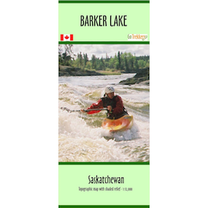
The map has a scale of 1:75,000 with contour intervals of 10 and 50 m.
The map includes lake depths, campgrounds, Lac La Ronge nautical markers, and canoe routes
The map is printed on waterproof/synthetic paper and comes folded in a protective plastic sleeve.